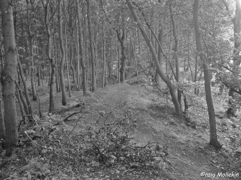
Roman Dyke in Chain Bar Plantation, Swinton
Although originally believed to be of Roman origin, it is now thought that this earthwork which runs from near Wincobank, via Swinton, to Mexborough was either built by the Brigantian tribes in the 1st Century A.D. against the Roman invasion or after the 5th Century to defend the kingdom of Elmet from the Angles. Although this rig/ridge/dyke runs through the whole of Swinton, perhaps the best example of it can be viewed in the Chain Bar Plantation in Creighton Wood. Another good visible example of it is at the Churchyard boundary, next to the housing estate on Golden Smithies Road. It forks into two lines, one going across Thomas Street and another which hugs the Cresswell estate/Hatherley Road, down from the aforementioned section at Saint Margaret’s Churchyard.

Leave a comment